














New DWG plans and BIM files across France

easyVirtual.tours
Language
FrançaisEnglish
Coming soonContact us
Public building surveyed with a 3D scan

Manage every building your authority owns with a digital twin

An easyVirtual.tours agency scans your public buildings, one visit per building, without moving anything. You receive the 360° virtual tour, the point cloud and the BIM model of each building as it stands today.

Survey accuracy
Centimetre-level
Per building, nothing moved
1 visit
BIM model
LOD 200 to 350

What is a digital twin for a local authority?

  1. Walk through every building in 360°

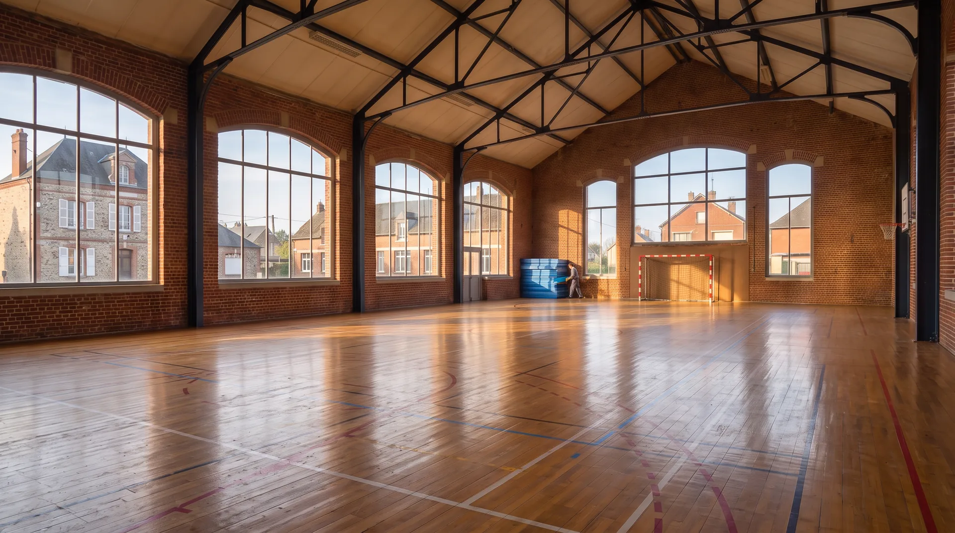
    Elected members, technical services and contractors step into the town hall, the schools or the sports hall from a simple web browser.

  2. Work on a BIM model accurate to the centimetre

    The LiDAR survey captures the geometry of the existing building to the centimetre. The design office turns it into a BIM model from LOD 200 to LOD 350 depending on the project phase, with plans and sections.

  3. Find every piece of data in its place

    Every plan, every register and every equipment record is filed by site, building and level, at the exact spot it applies to.

Why choose a digital twin for your local authority?

01

Have your buildings surveyed without moving a thing

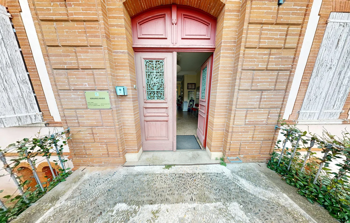
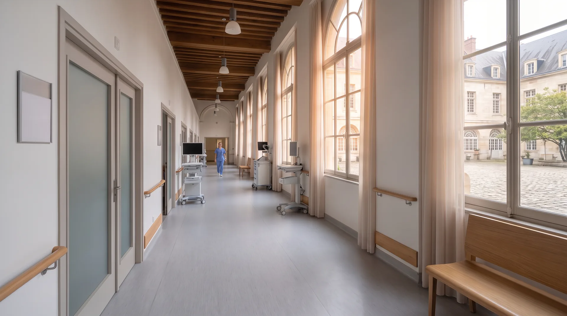
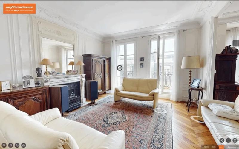
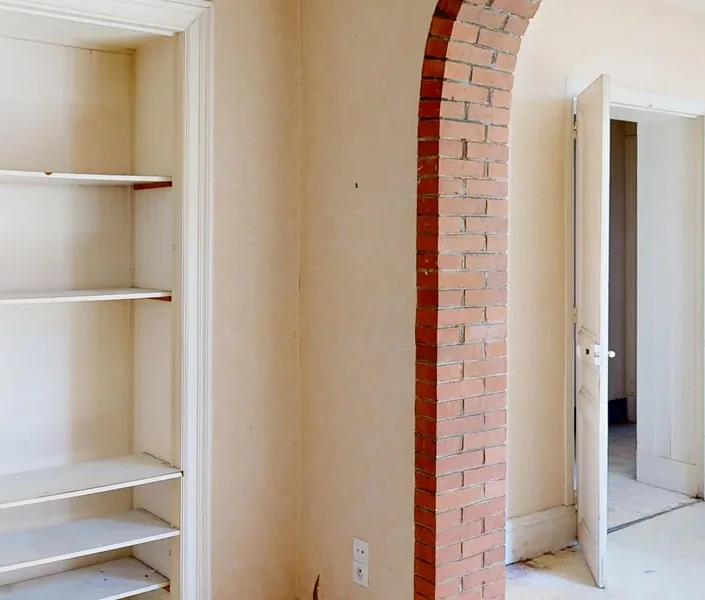
Plans of your buildings are missing, out of date or sitting in different departments. A manual survey of the whole estate would tie up your technical services for months, so it never happens. With a 3D scan, one visit per building is enough and you get a centimetre-level survey of the existing buildings.
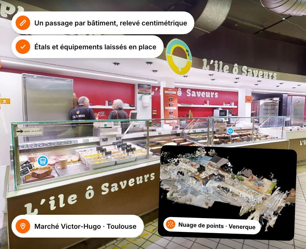
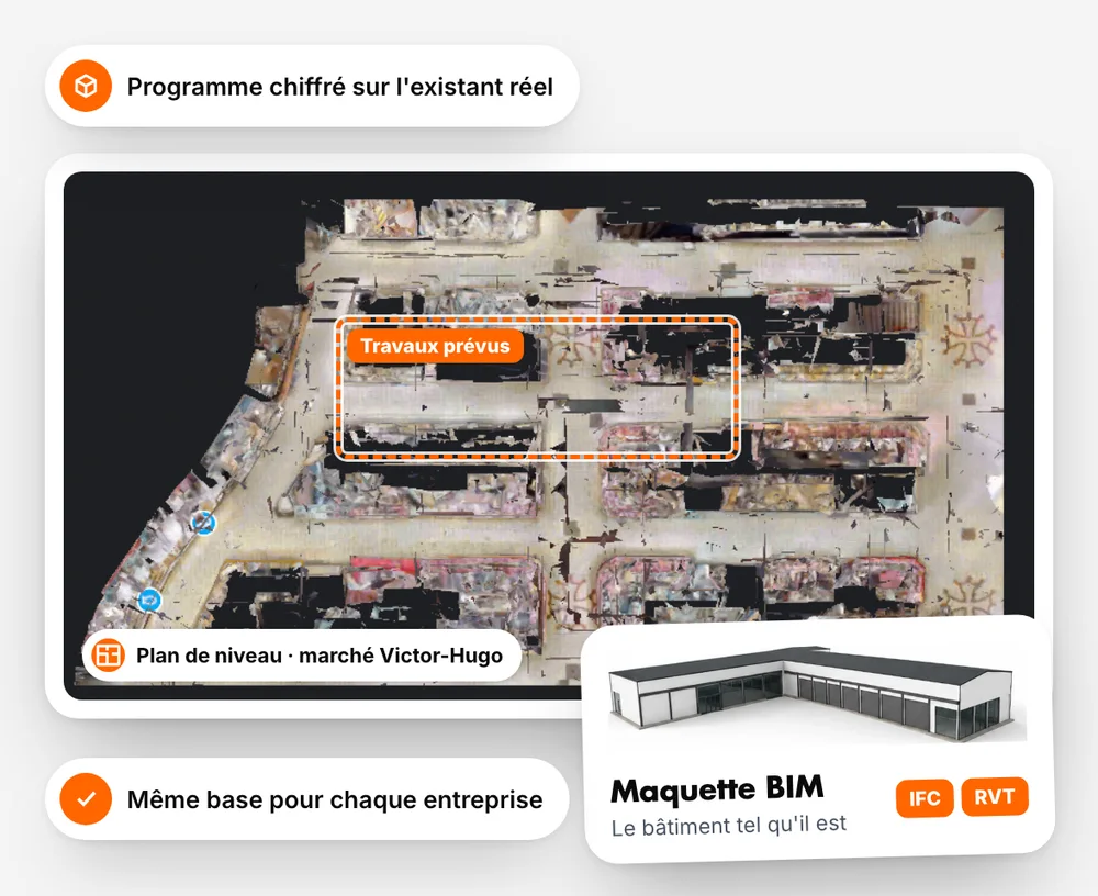
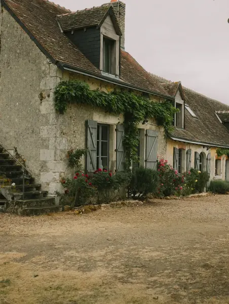
Photo illustrating ‘Have your buildings surveyed without moving a thing’
02

Build your works programme on sound foundations

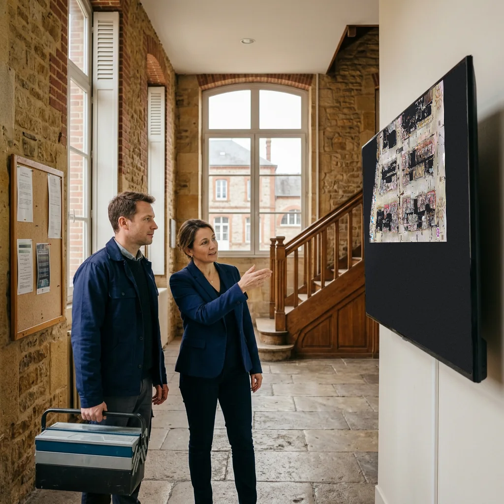
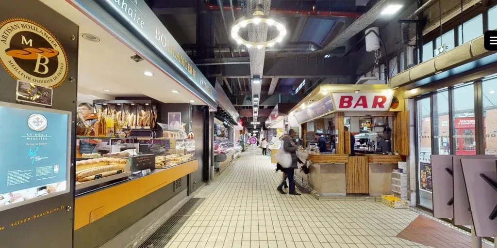
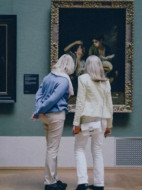
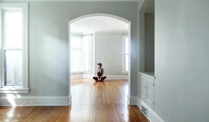
Without a reliable picture of the estate, works priorities are set on impressions and budgets overrun mid-project. With the BIM model and the data for each building, you cost your programmes on what is really there, and your decisions stand up in front of your elected members.

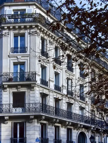
Photo illustrating ‘Build your works programme on sound foundations’
03

Plan jobs from the technical services office

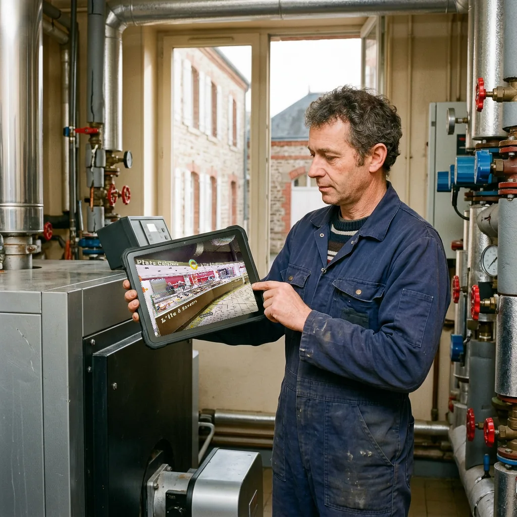
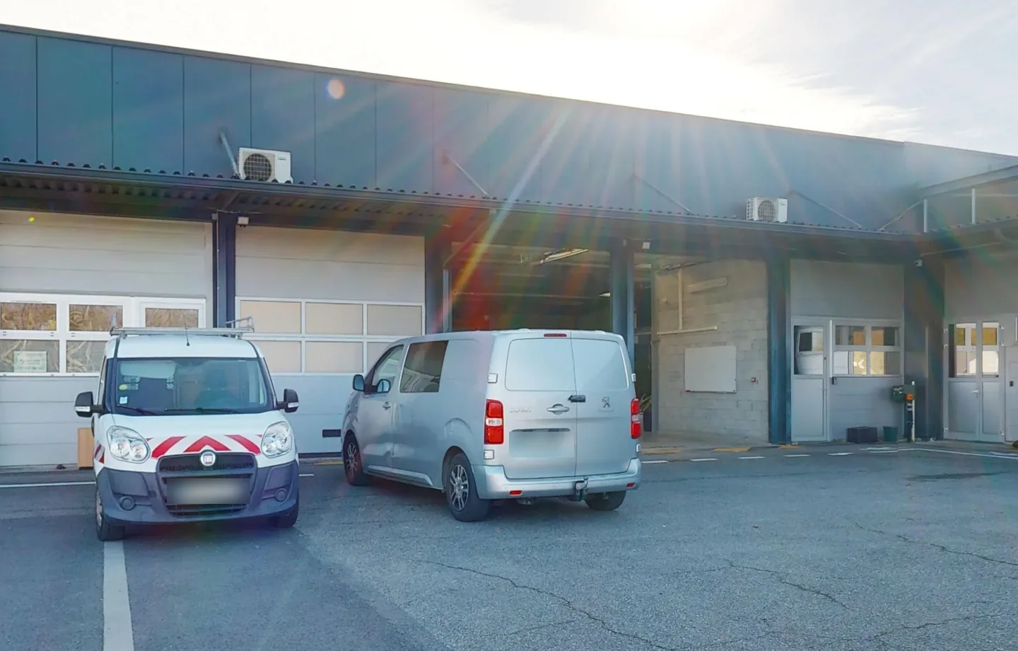
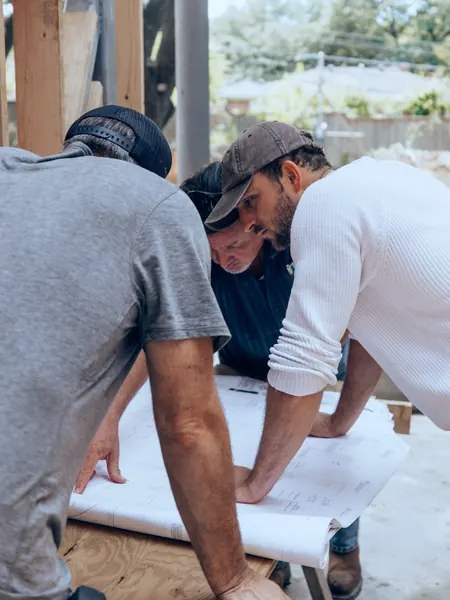
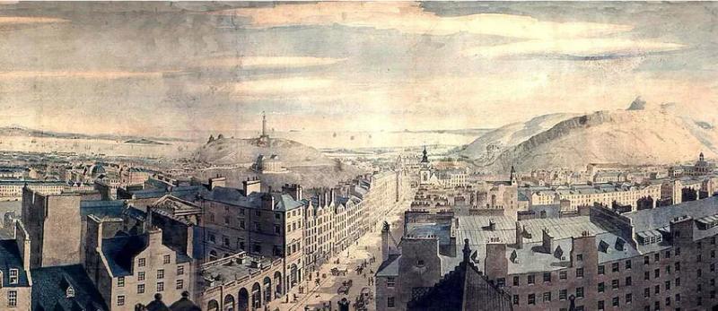
Every job in a school or a sports hall starts with a site walk, with a contractor to escort on site. Over time, your staff lose hours to it. In the digital twin, the contractor locates the equipment and takes its measurements remotely, then arrives ready to work.

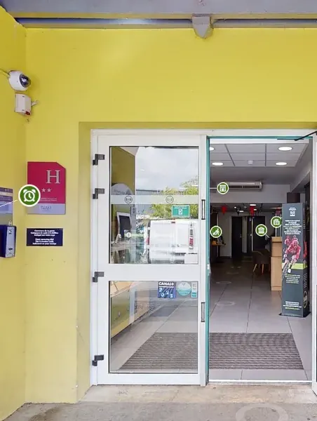
Photo illustrating ‘Plan jobs from the technical services office’

When is a digital twin right for you?

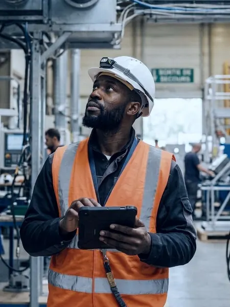
  • Photo illustrating the profile ‘You are an elected member or director of services’

    You are an elected member or director of services

    • Know the true condition of your estate
    • Decide on works from sound foundations
    • Show people round the buildings without travelling
  • Photo illustrating the profile ‘You manage the building estate’

    You manage the building estate

    • Prepare every job remotely
    • Attach your registers to each building
    • Brief outside contractors online
  • Photo illustrating the profile ‘You manage the estate of several municipalities’

    You manage the estate of several municipalities

    • Keep all your buildings in one database
    • Work with one single provider
    • Get the same deliverable on every site

Ready to save time?

Describe your project in two minutes. The nearest agency in the network will reply with a price and a date for the visit.

Each agency in the network sets its own prices freely.

Receive your estate in the formats your teams already use

The LiDAR scan produces a point cloud, then a BIM model from LOD 200 to LOD 350 depending on the project phase, in IFC and RVT, with plans and sections in DWG and PDF. Your contact agrees with you on the deliverables your projects need.

  • BIM model of a municipal building and its dimensioned plan

    BIM model

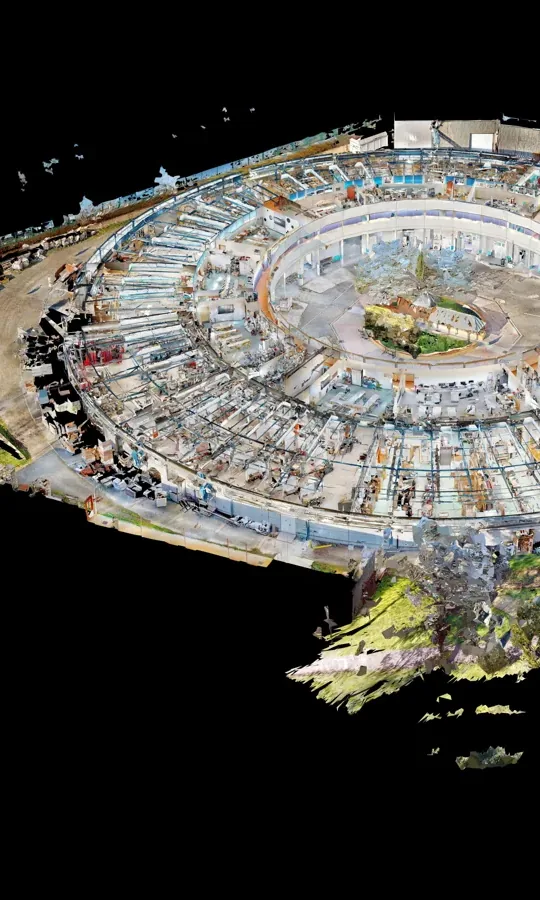
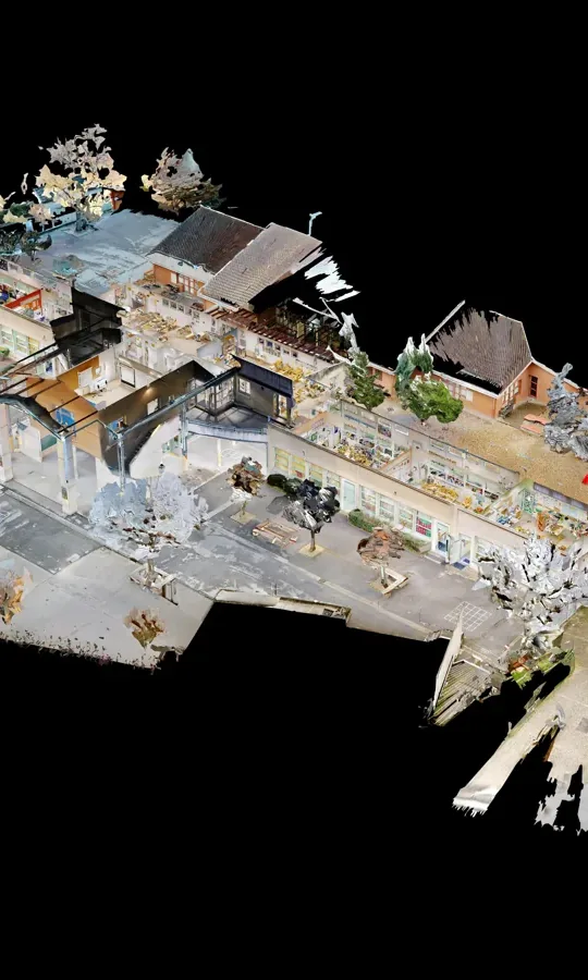
  • Point cloud of a building surveyed with a 3D scanner

    Point cloud

  • Dimensioned plan and section of a building, taken from the 3D survey

    Plans and sections

  • 360° virtual tour of a public building, open in a web browser

    360° virtual tour

  • Tree of sites and buildings in the estate database

    Building health record

Other options
  • Points of interest & documents
  • Building merge
All platform features

What does your digital twin do for your local authority?

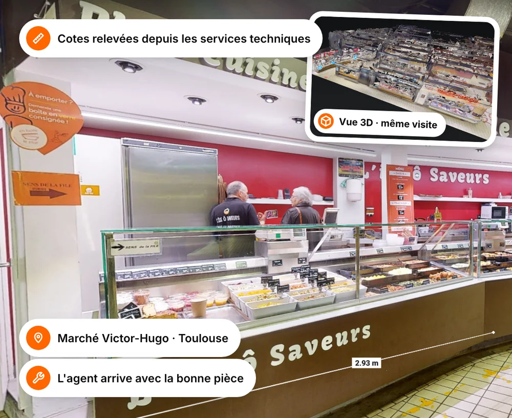
Measuring tool open in a virtual tour on a technician's screen

Plan jobs in your schools and sports halls

Your technician finds the equipment in the tour, takes a measurement and opens the attached documents. They make one trip, with the right part, and your in-house team keeps to its schedule. Accurate measurements and attached documents are available as à la carte options.

  • Locate the equipment before you travel
  • Open its record and documents in the right place
  • Take a measurement from the technical services office

easyVirtual.toursFind the virtual tour agency nearest to you!

Thanks to our integrated franchise network, you deal with a local contact who knows your area and its challenges inside out.

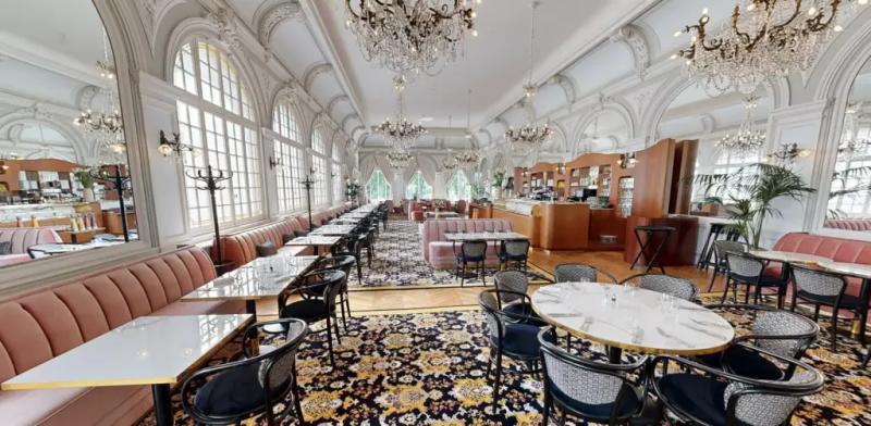
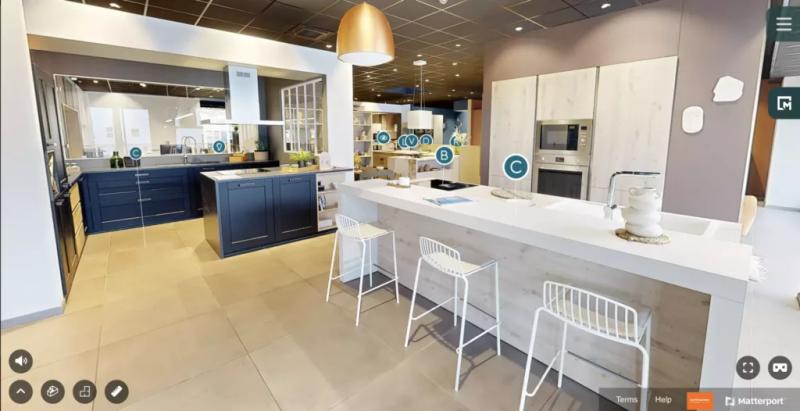
  • Mobalpa
  • McDonald's
  • SoCoo'c
  • Airbnb
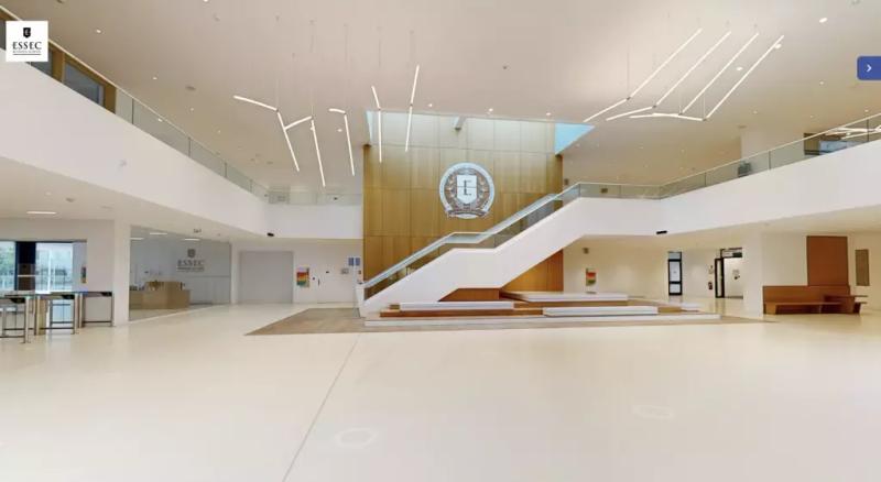
  • ESSEC Business School
See all our agencies

Would you like to fly the easyVirtual.tours flag in your area?

Explore our franchise

How do you launch your local authority's digital twin?

  1. Step 01

    You contact our team

    We put you in touch with the agency in your area.

  2. Step 02

    We scope the survey with you

    Together we set the scope, the level of detail and the model formats, then we send you a quote.

  3. Step 03

    Your contact scans the site

    They survey each building in a single visit, with a scan point every 1 to 3 metres, without moving anything.

  4. Step 04

    You receive your digital twin

    The 360° virtual tour arrives within 48 business hours. The point cloud and the BIM model follow in 1 to 4 weeks, depending on the surface area and the level of detail.

Contact us

Your questions about digital twins for local authorities

Here is what we are asked most often before scanning a local authority's estate.

  • How much does a digital twin cost for a local authority?

    The price depends on the number of buildings, their surface area and the deliverables you choose. Each agency in the network sets its own prices freely. The proposal from the agency in your area is the one that applies.

  • Do the buildings have to close during the scan?

    One visit per building is enough, without moving anything. The schedule is planned around how the schools, halls and facilities are used.

  • How accurate is the 3D scan survey?

    The survey is carried out with a Matterport 360° camera fitted with a LiDAR sensor. It gives centimetre-level accuracy, with a scan point every 1 to 3 m. The BIM model is built from LOD 200 to LOD 350 depending on the project phase, and beyond that on quotation.

  • Which formats is the BIM model delivered in?

    The BIM model comes in IFC and RVT, delivered together and ready for Revit, ArchiCAD or AutoCAD. Plans, sections and the roof plan come in DWG and PDF at 1:100, and the point cloud in e57.

  • What is the difference between a 360° virtual tour and a digital twin?

    The 360° virtual tour is the part you can walk through. The digital twin adds the point cloud, the BIM model and the data attached to each space and each piece of equipment.

  • Can you survey several municipal buildings to the same level of detail?

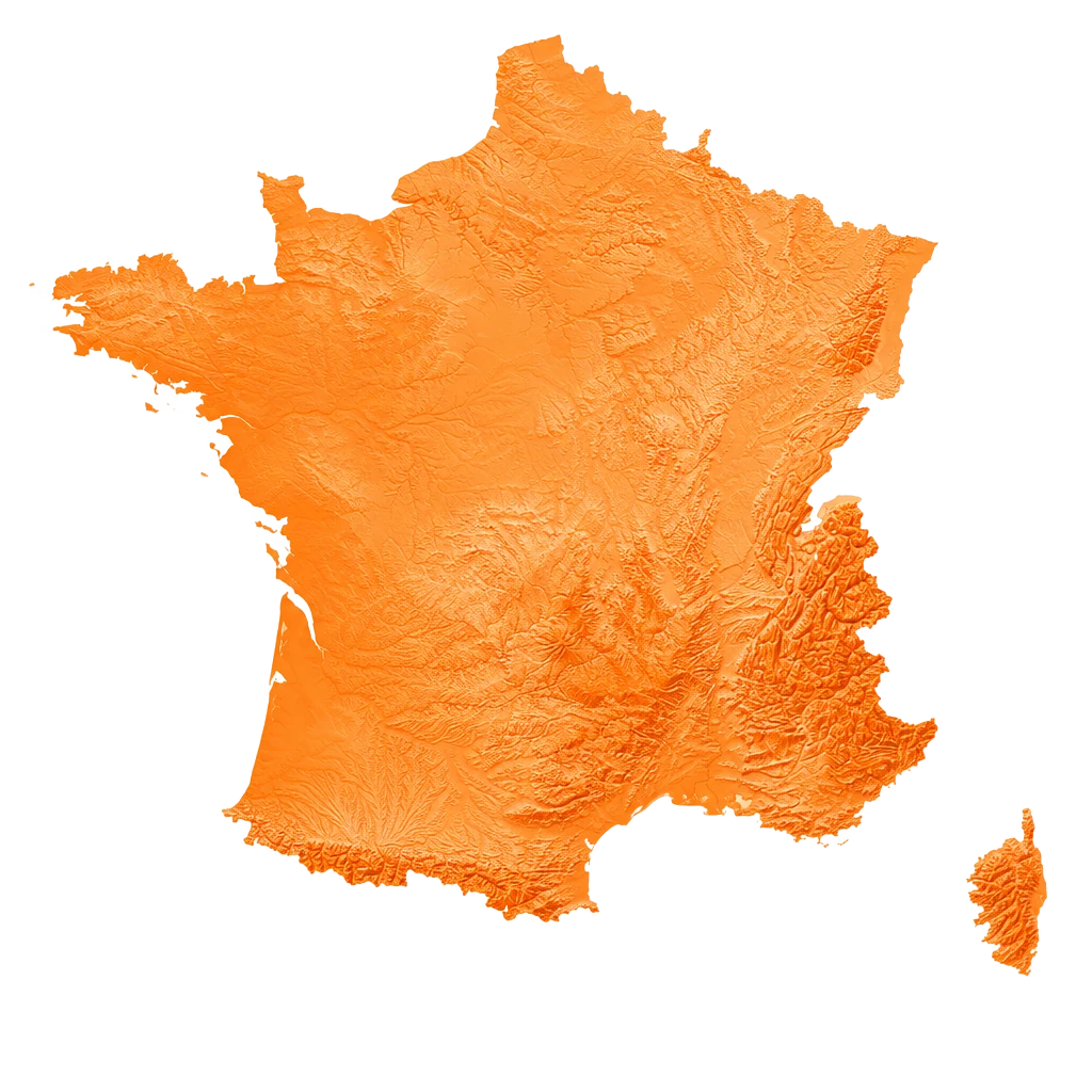
    Yes. Each site gets the same scope and the same deliverable, organised in a tree of sites, buildings and levels. The 36 agencies in the network cover the whole country.

Got another question?

Talk to an expert

Ready to scan your estate?

Tell us about your estate, the number of buildings and your projects. The agency in your area will get back to you with a scope, the deliverables you need and a proposed date.

  • Reply within 24 business hours
  • Free proposal, no commitment
  • An easyVirtual.tours agency near you

Each agency in the network sets its own prices freely and sends you a tailored proposal.

Contact us